
Find the sites that score before the market does
MAIA finds every parcel in a county inside a qualified census tract or difficult development area that clears your acreage and zoning, scores it against the state QAP, and resolves the owner behind it. Affordable housing developers use it to turn a county into a ranked list of sites, including the ones with a path to rezone. Sourcing starts from every eligible parcel, not from a broker's RFP.
How it works
Draw the eligible map
Qualified census tracts and difficult development areas go on the map, and every parcel inside them is the universe. Acreage and zoning cut it to buildable land, with rezone candidates flagged beside the by-right sites.
Score the site
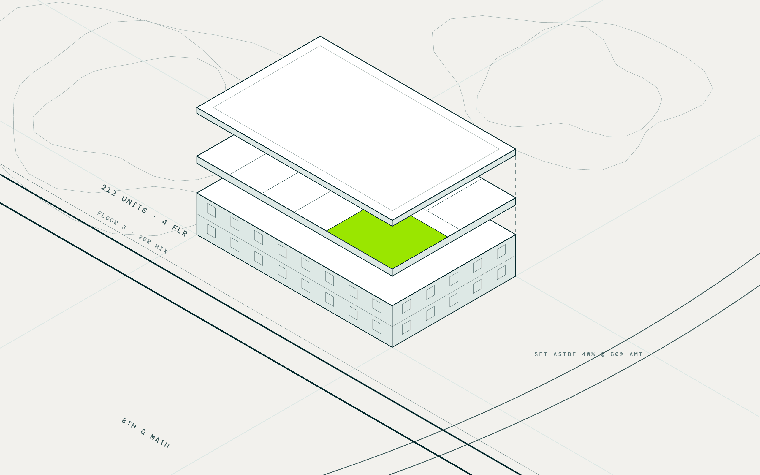
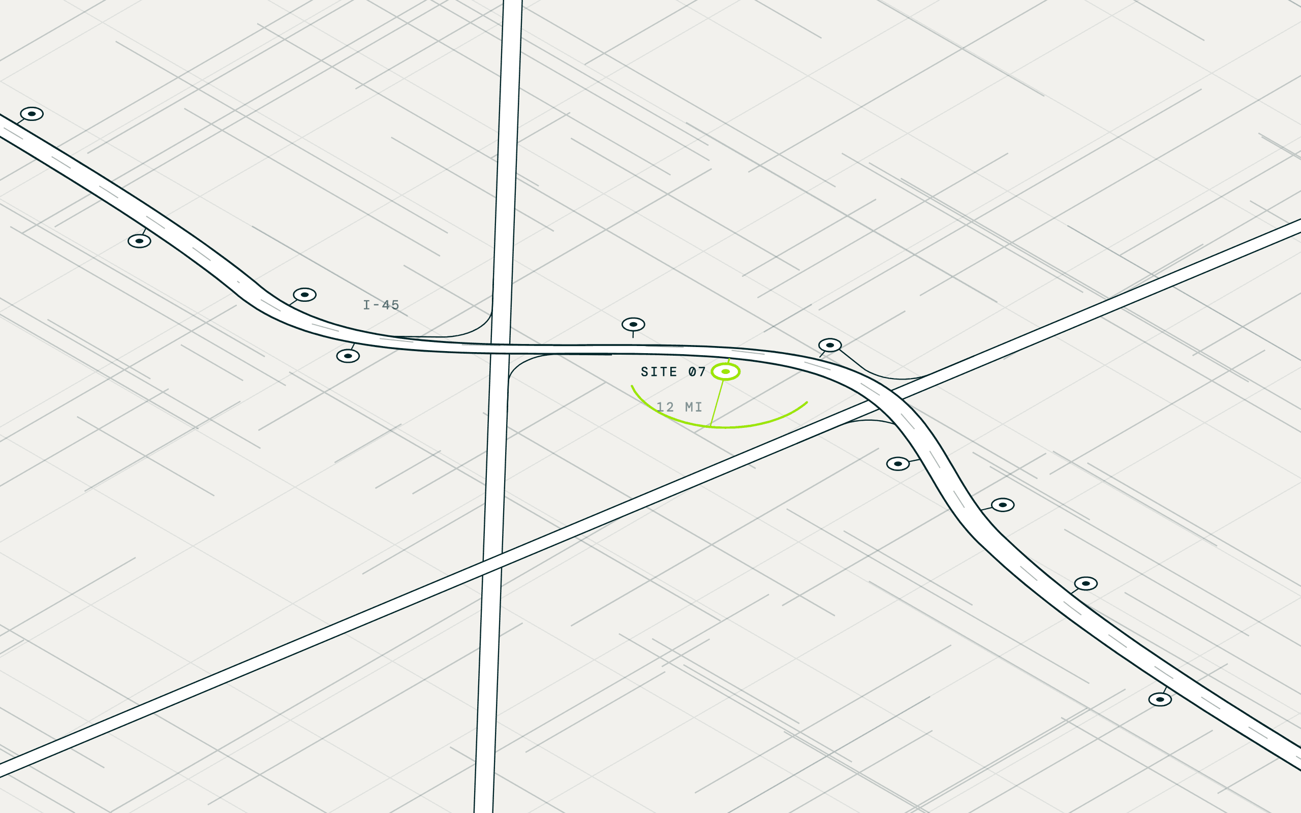
Each parcel's distance to grocery, school, transit, and jobs is scored against the state's QAP. Rent burden and tract income sit beside it, and flood and wetland records drop the sites that would fail diligence.
Resolve the owner and the ask
Assessor records classify each owner as an individual, LLC, government, or nonprofit, and corporate filings pierce the LLC to a decision maker. Completed deals nearby and utilities in reach are researched for the shortlist.
The parcel export, the county zoning PDFs, and the QAP spreadsheet.
Questions teams like yours ask MAIA
Asked in plain language. Answered across every parcel in your territory at once.
Which parcels sit inside a QCT or DDA and clear our acreage?
HUD's designations, acreage, and building coverage sit on every parcel, so the eligible universe is one search. Move the threshold from four acres to three and the list rebuilds.
Which sites have a path to rezone?
Where a city publishes a future land use map, MAIA flags the parcels whose planned use allows more density than today's zoning. Nearby rezonings are researched as precedent.
How would each site score under the QAP?
Distance to the amenities, transit, and jobs the state rewards rolls into a composite score calibrated to its QAP, basis boost included. Every input is auditable from the row.
Which sites sit near completed deals, with utilities in reach?
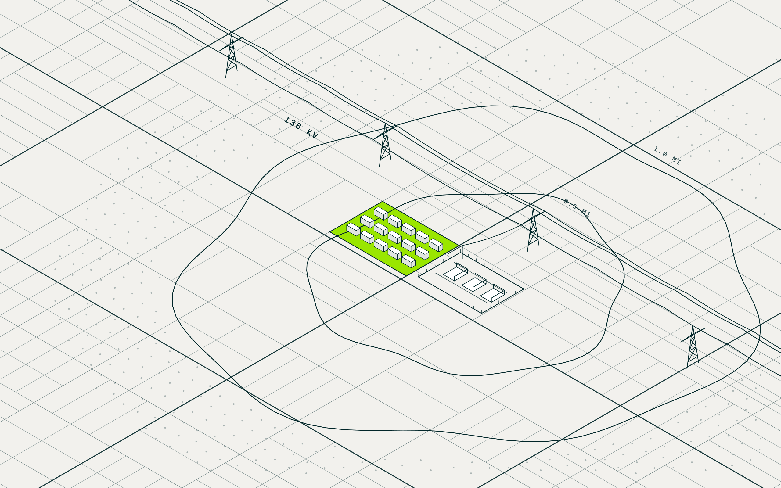
For the shortlist, MAIA researches completed LIHTC projects within your radius and whether water, sewer, and power serve the site, and cites what it found.
What do the tract's numbers say?
Rent burden, renter share, median income, and poverty rate from census records sit on every row beside workplace jobs. Ask for a two-mile radius and the numbers recompute.
Who owns each site, and what would it take?
Assessor records separate the church, the nonprofit, and the LLC, and corporate filings pierce the LLC to a decision maker. Years held and last sale flag a realistic timeline.
The data underneath
Every result carries the record it came from, so the analysis is cited and defensible.
| Screen for | Dataset | Source |
|---|---|---|
| Eligible geography | QCT, DDA, and opportunity zone designations at the parcel | HUD and CDFI Fund incentive designations |
| Acreage and zoning | Parcel size, building coverage, zoning, and future land use where the jurisdiction publishes it | County assessor and property records; building footprints and heights; cited web research |
| QAP amenities | Distance to grocery, pharmacy, school, transit, and jobs from each parcel | Verified business locations; public school records; public infrastructure records; census and workforce records |
| Tract economics | Rent burden, renter share, household income, and poverty rate | Census and workforce records |
| Site constraints | Flood zones, wetlands, brownfields, and slope at the parcel | FEMA, National Wetlands Inventory, and EPA records; USGS terrain data |
| Nearby deals and utilities | Completed LIHTC projects and utility service near the site, researched per shortlist | Cited web research |
| Owner and contact | Owner type, LLC resolution, years held, and contacts | County assessor and property records; multi-source contact intelligence |
How a Broker Found Large Affordable Housing Sites Across 34 Counties
VP, Pacific Northwest brokerage group that sources land for affordable housing developers · Nationwide · September 7, 2026
What they knew
A boutique commercial real estate firm in the Pacific Northwest handles land acquisitions, investment sales, and tenant representation for developers and investors. Its VP sources land for a client a few miles away: a national developer of 4 percent LIHTC communities that wants to be in submarkets from Phoenix to Columbus. His job is to say whether a market is realistic on the land and pricing there, then find the parcels and the sellers. The routine was a mapping export with the QCT layer on top and zoning pulled by hand, city by city.
What they asked
Show me all the land four acres or above within a QCT or DDA that is zoned multifamily or has a path to rezone, vacant or with a small building on a big lot, and tell me who owns it.
What MAIA did
Drew the eligible map
HUD's qualified census tracts and difficult development areas were joined to every parcel in each county, so every vacant parcel inside them became the universe, 3,800 in the broker's home county alone.
Cut to land you could build on
Zoning marked the parcels in verified or conditional multifamily districts, acreage and adjacency found the assemblages, and building footprints dropped the lots with significant structures already on them.
Resolved the owner and the seller
Assessor records and corporate filings named the owner behind each parcel, dropped the school districts and public agencies that would never sell, and attached a phone and email for the broker's call.
What came back
- 3,800 vacant parcels to one 7.8-acre assemblage in the broker's home county: every vacant parcel inside a QCT or DDA, cut to 133 in multifamily districts, 19 at the acreage floor, and the two-parcel site worth the call
- 14 parcels his two years of hand prospecting had missed, surfaced in the first sessions in a Southwest submarket he knew cold
- 34 counties across the Southwest, the Midwest, and the mountain states, run from one saved search after ten Southwest submarkets proved it out
What they did next
Each list ends in the VP's own calls, and what reaches the developer is the handful of parcels worth a site visit, QCT status, zoning, and contact already attached. Ten Southwest submarkets proved the search out, and it now covers 34 counties from Boise to Columbus without being rebuilt once. The gap he wants closed next is rezone potential, the half of the pipeline no export could see, read from each city's own future land use overlay.
I prospected the same county by hand for two years, and MAIA found parcels I'd never seen.