
Mapping Buildable Apartment Sites in Manatee County, Florida
Principal, Tampa-based multifamily development firm · Sarasota and Manatee counties, Florida · August 4, 2026
What they knew
A Tampa multifamily development firm founded in 2023 by a former institutional apartment broker builds upscale communities in high-growth Sunbelt markets, with five projects underway from Sarasota to Tampa. Finding land meant four systems open on two screens at once: a mapping service for parcels, an environmental viewer for wetlands and flood, a rent platform, and the county GIS for zoning and future land use. Then it was road by road, clicking parcels and logging addresses into a spreadsheet. A new market took two or three months to learn before the first call.
What they asked
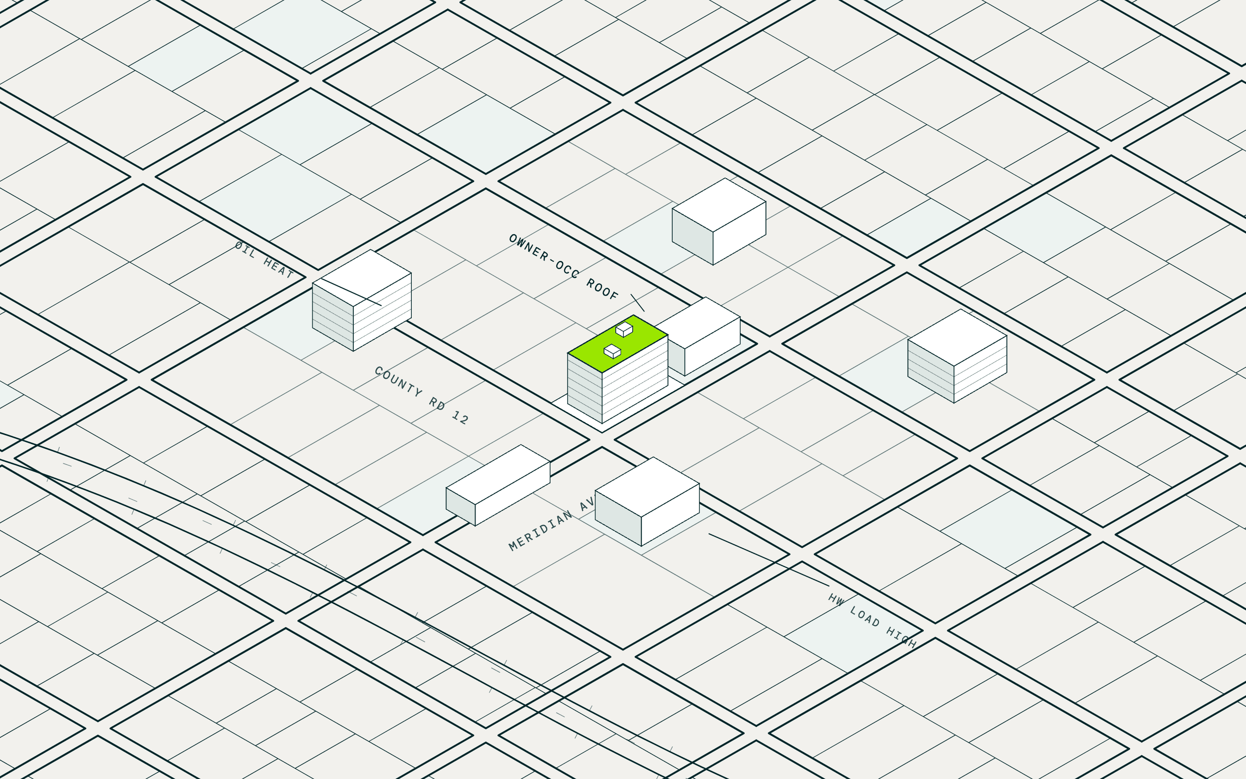
Find every agricultural or residentially zoned parcel under 40 acres in this county with less than 10 percent wetlands, outside the AE flood zone, on a major thoroughfare, and show me which neighbors could combine into 10 to 25 acres.
What MAIA did
Screened the county on zoning, size, and water
Parcel records supplied zoning, future land use, and acreage, and the National Wetlands Inventory and FEMA flood zones were joined to each parcel, so the wet sites dropped before anyone looked closer.
Found the assemblages
Adjacent parcels under one or two owners were grouped into candidate sites in the ten-to-twenty-five acre band, each with its combined acreage and frontage on a major road.
Mapped the market around each site
Household income, population growth, rents, and existing supply were layered on the map from census and parcel records, so the pockets worth working stood out before the first call.
What came back
- 286 vacant parcels of 15 to 20 acres in Manatee County from the first saved search, with zoning, future land use, wetlands, and flood on every row
- 31 assemblages of 10 to 25 acres surfaced from adjacent parcels under one or two owners, with each owner resolved
- Four months of market study in two weeks: zoning, growth, income, rents, and supply on one map before the first site visit
What they did next
The owners of the assemblages that survive the water and zoning screens are the first calls, each with combined acreage and road frontage in hand. Every new county starts with the surgical query, acreage, wetlands share, flood zone, and zoning, so the principal begins with a few hundred buildable parcels rather than thousands, on one map instead of four. Central Florida is where it goes next, the market the firm wanted to learn in a month rather than three.
I had four websites open across two screens just to vet one site. The mapping service is prehistoric compared to this. MAIA rolled it into one, which makes my life a lot easier.