
Map the gaps between demand and coverage
MAIA maps your locations and every competitor's, lays the demand signal over them, and finds the trade areas where demand is strong and coverage is thin, then the by-right sites inside each gap with the owner attached. Operators and developers use it to see where the next location belongs before a broker suggests one. Analysis starts from every operator and every parcel in the market, not from a competitor list.
Start freeHow it works in MAIA
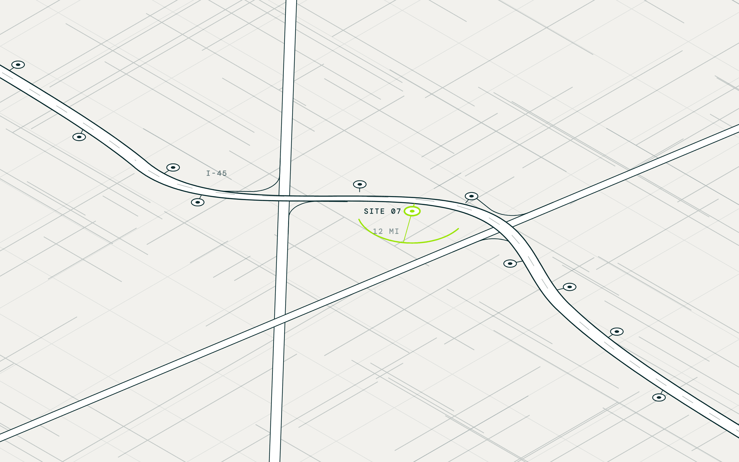
Map who is already there
Business records map your sites and every competitor's, and imagery finds the installations those records miss. Each location is resolved to its parcel and owner, so competitors' real estate is in the picture.
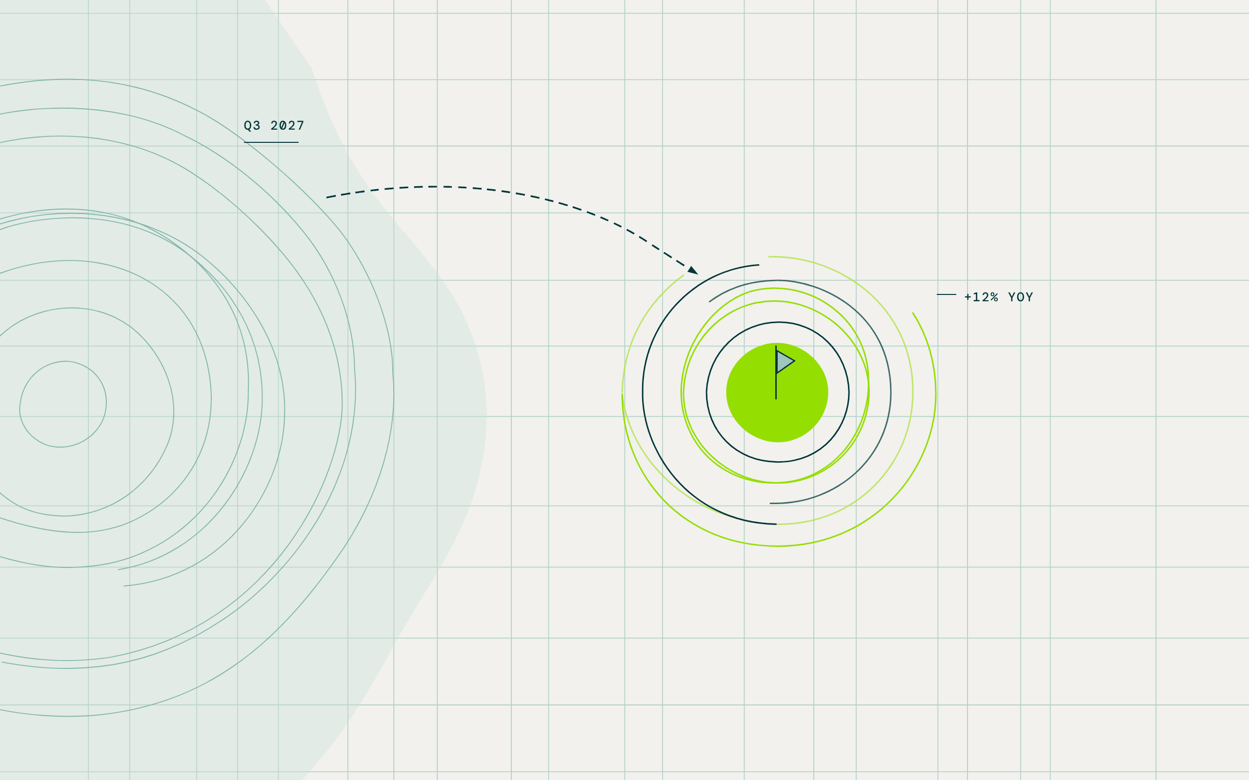
Subtract coverage from demand
Traffic, households, jobs, and destinations score demand across the market, and each existing location's radius is subtracted from it. What remains is a ranked list of trade areas where demand qualifies and coverage is thin.
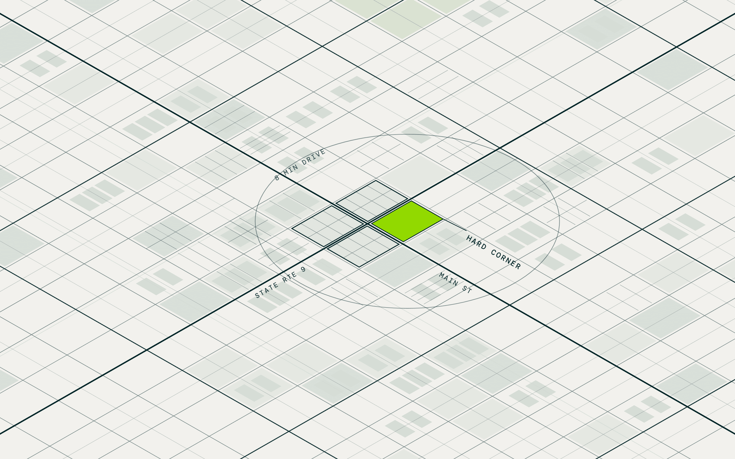
Drill into the gap
Inside each gap, MAIA screens every parcel for acreage, by-right zoning, and access, then drops the ones a competitor already holds. The owner behind the rest is resolved, and listing status is researched.
The competitor pin map, the trade-area study bought per market, and the radius rings drawn by hand.
Questions teams ask MAIA
Asked in plain language. Answered across every parcel and every business in the market at once.
Where is demand strong and coverage thin?
Business records map your sites and every competitor's, and traffic, households, and jobs score demand on every parcel. Each location's radius is subtracted, and the trade areas left are ranked.
Which sites sit outside our own radius and every competitor's?
Set the radius, and every parcel outside it that clears acreage, by-right zoning, and road access is returned. Vague zoning labels are filled in from use codes and building records.
Which corners has a competitor or developer already tied up?
Assessor records name the owner of every parcel in the gap, and the developers and competitors among them are classified. The corners they hold drop off the list.
Where are the charging deserts?
Existing chargers are mapped from infrastructure and business records, and demand from traffic, jobs, and households is laid over them. Corridors with high demand and no charger nearby rank first.
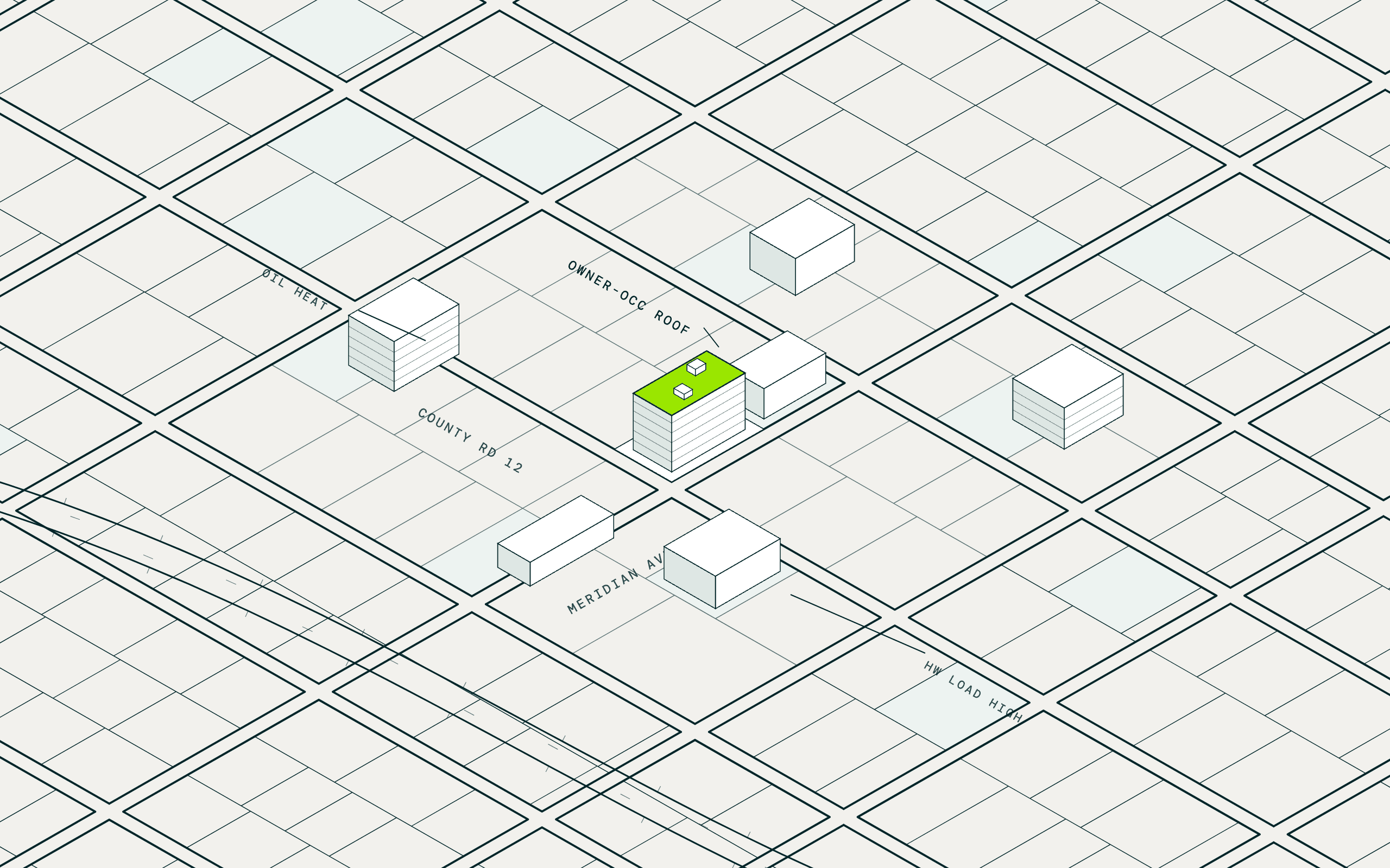
Which of our customers' portfolios have buildings we haven't served?
Computer vision on current imagery finds every existing array, and assessor records and corporate filings resolve its owner. The rest of that owner's portfolio is pulled and each roof scored.
How do we get from a gap to a site?
Inside each gap, parcel records supply acreage and zoning, the road network measures access, and imagery shows what is built. Corporate filings resolve the owner, and listing status is researched.

Who does this
The same job, in the industries where it shows up most.